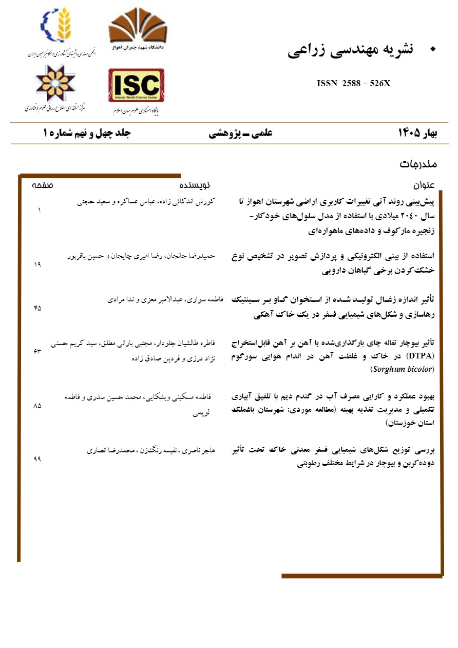
نوع مقاله : کاربردی
نویسندگان
1 دانشجوی دکتری رشته مکانیزاسیون کشاورزی، گروه مهندسی بیوسیستم، دانشکده کشاورزی، دانشگاه شهید چمران اهواز، ایران
2 دانشیار گروه مهندسی بیوسیستم، دانشکده کشاورزی، دانشگاه شهید چمران اهواز، ایران
3 استاد گروه مهندسی علوم خاک، دانشکده کشاورزی، دانشگاه شهید چمران اهواز، ایران
کلیدواژهها
عنوان مقاله English
نویسندگان English
Introduction: Land-use change, driven primarily by anthropogenic activities and, to a lesser extent, natural factors, poses a critical environmental challenge that profoundly affects global ecosystems and human communities. Accurate identification of land-use change patterns is vital for the sustainable management of natural resources. Consequently, the integration of remote sensing technologies, Geographic Information Systems (GIS), and machine learning methods has become increasingly prevalent in monitoring these complex dynamics. Among the predictive tools, Markov chain models and Cellular Automata (CA)-based models are widely employed to simulate and forecast future land-use scenarios, with numerous researchers successfully utilizing them alongside satellite data across various regions. This study focuses on Ahvaz County, a region in Iran facing pressing challenges related to land-use change and environmental degradation. Given the growing importance of sustainable land management in Ahvaz County, and the necessity of anticipating the potential consequences of future development, proactive policy intervention is essential. Therefore, this research aims to predict the future land-use trend in Ahvaz County until the year 2040. Utilizing Google Earth imagery and a combined Cellular Automata-Markov Chain model, this study seeks to provide valuable, spatially explicit information for urban planners, environmental managers, and policymakers.
Materials and Methods: The study area, located within the Khuzestan plains and including the counties of Ahvaz, Bavi, Karun, and Hamidieh, faces significant challenges, including water scarcity and environmental crises. In recent decades, urbanization coupled with industrial and agricultural development has led to significant land use changes in this region. This research focused on extracting land use maps for the period 2000–2020. The methodology employed a Convolutional Neural Network (CNN) implemented using Python software, specifically the TensorFlow library. Google Earth images were collected, labeled, and divided into three datasets (training, validation, and testing) for the CNN analysis. The U-Net model was employed for image segmentation and land use identification, utilizing ReLU and Softmax activation functions to enhance classification accuracy. The accuracy of the resulting land use maps was assessed using the Kappa coefficient and overall accuracy indices. To predict future land use changes, a Cellular Automata–Markov Chain model was utilized. This model overcomes the limitations of the standard Markov chain model by incorporating spatial information and the influence of neighboring cells. For the prediction, land use maps from 2000, 2007, 2014, and 2020 were input into the CA-Markov chain model to forecast land use status in 2040. The prediction process was conducted using IDRISI TerrSet 2020 software.
Results and Discussion: This study employed convolutional neural networks to generate highly accurate land use maps for the years 2000 and 2020. Specifically, the 2020 map achieved a Kappa coefficient of 97.89% and an overall accuracy of 96/06%. The results indicate that over this 20-year period, man-made lands experienced a substantial increase of 251%, rising from 16124 hectares to 56635 hectares. This expansion is primarily attributed to population growth, the necessity for urban infrastructure development, and securing the food supply. Agricultural lands also expanded significantly, growing from 64451 hectares to 117530 hectares. Conversely, barren lands decreased dramatically, with their share of the total study area falling from 49.69% in 2000 to 36.63% in 2020. Future land use changes were predicted using the Cellular Automata–Markov chain model. The projections suggest that by 2040, man-made lands will grow to 79727 hectares, constituting 9.49% of the total area. Although this rate of increase is slower compared to the 2000–2020 period, it still represents a significant component of the projected land use transformation. Agricultural lands are expected to rise by an additional 17578 hectares, reaching a total of 135108 hectares, which will cover approximately 16.1% of the total area. In contrast, natural land uses such as pastures and barren lands are projected to decline: grasslands will decrease by 25108 hectares, and barren lands will shrink by 19348 hectares, resulting in final areas of 323634 hectares and 287553 hectares, respectively. These significant land use shifts could carry considerable ecological consequences, including reduced biodiversity and negative impacts on overall ecosystem structure.
Conclusion: The application of the cellular automata-Markov model enables more accurate predictions; however, it is recommended to integrate this model with new technologies and scenario-based approaches to evaluate the interactive effects of various factors. In Ahvaz County, human pressures have resulted in an observable increase in man-made and agricultural lands, concurrent with a decrease in barren lands, underscoring the urgent need for sustainable land management strategies. Predictions for the year 2040 suggest that this trend- the expansion of man-made and agricultural areas alongside the diminishing extent of grasslands and barren lands- will continue, thereby necessitating comprehensive environmental policies. While the application of the Cellular Automata–Markov chain model facilitates more accurate predictions, it is recommended that this model be integrated with emerging technologies and scenario-based approaches to effectively evaluate the interactive effects of various influencing factors.
کلیدواژهها English